from Kelsbeek (Belgian province of Limburg)
Click on a city or village name to have a look at the map, with or without satellite view.
Zoom in (click +) or zoom out (click -). The arrows allow you to move up, down left or right from the original map. Click on the blue cross to remove the balloon.
Heks Horpmaal Kelsbeek Melveren Nieuwerkerken Othée Sint-Truiden
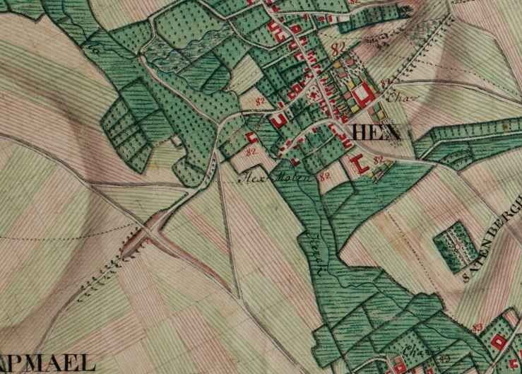
Heks, place of birth of Lambert Baldewijns, who was murdered in 1703
| This is the current view of the city via Google-maps | This is the view made by Count de Ferraris between 1771 and 1778 by order of the Austrian Government who then reigned over what is now Belgium and The Netherlands. A little army of "administrators" took all the measurements by means of wooden planks about a foot long. |
|---|---|
 |
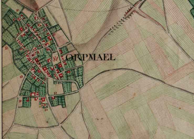
Horpmaal, place of birth of Anna Catharina Wauters wife of Godefridus Kempeneers
 |
|---|
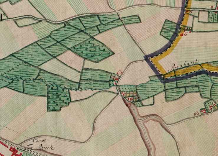
Kelsbeek, a hollow road as was still common in the early 20th century.
|
|
 |
|---|
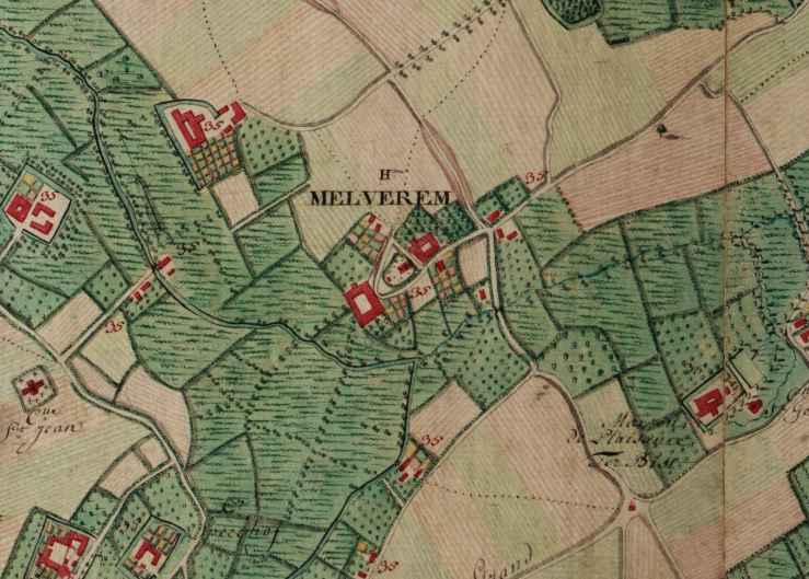
Melveren, burial place of my grandmother Guillauminne Baldewijns and grandfather Isidoor Kempeneers
|
|
 |
|---|
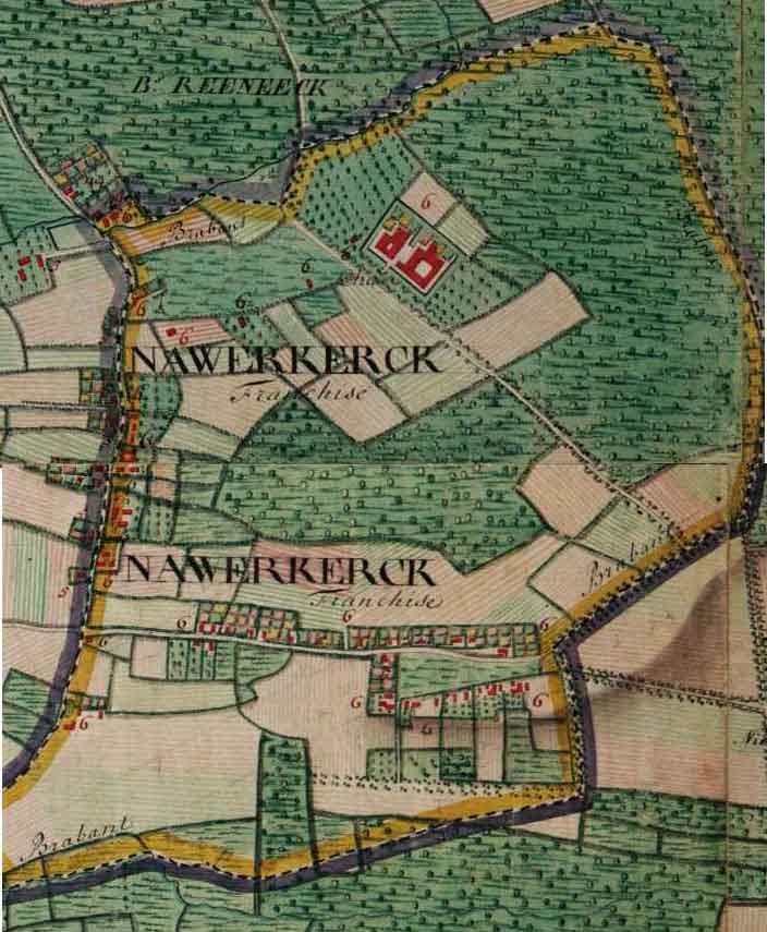
Nieuwerkerken, where a lot of Kempeneers have lived and still live ever since en Godefridus and Barbara Moermans came to live there.
 |
|---|
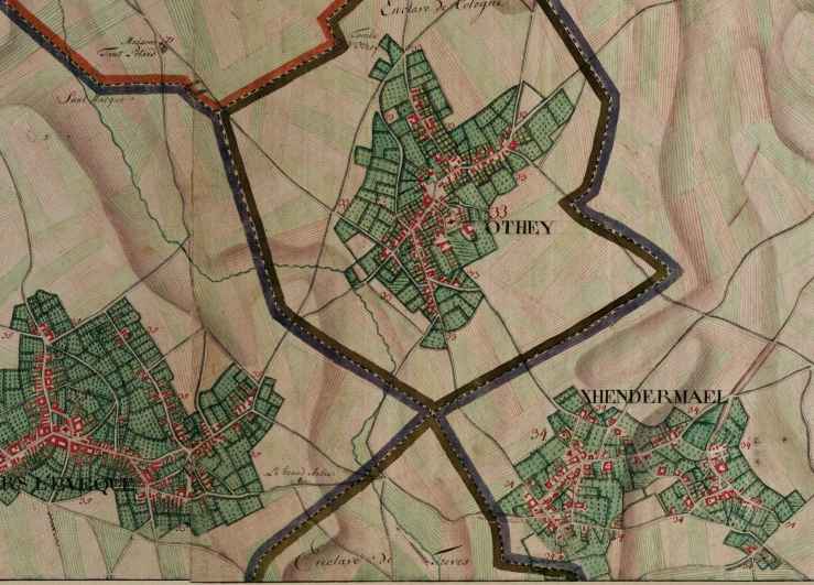
Othée, village of birth of Guillauminne Baldewijns
 |
|---|
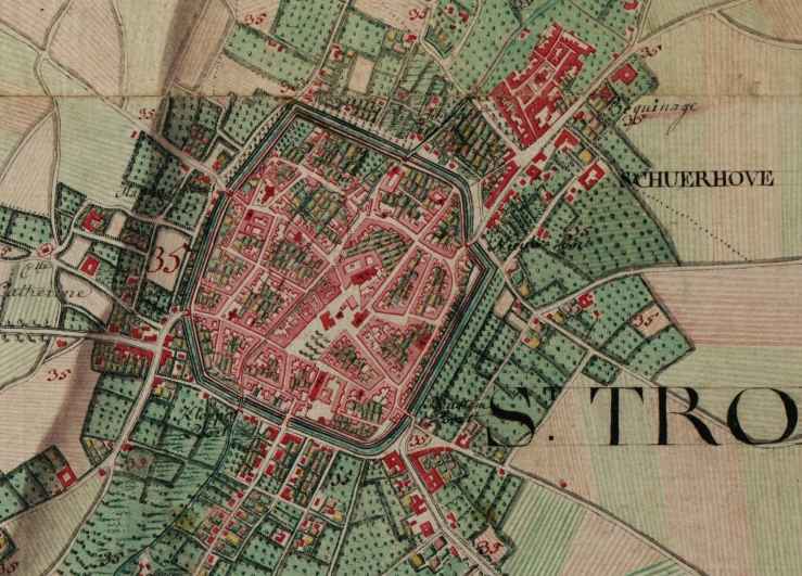
Sint-Truiden, city where most of our ancestors were born, lived, worked and died, mostly in the porer parishes of the city. You can find exact locations of their homes via 'Around Sentrui'
 |
|---|