from Kelsbeek (Belgian province of Limburg)
Pictures, records and maps
On these pages - pictures, records and maps (links on the left hand side) - you will find pictures with a bearing on the families, records of persons (baptism, birth, marriage,...) and maps of important places such as the villages or cities where our ancestors were born or lived.
The pictures are those of Nieuwerkerken and around mostly the houses where some of the family members were born
The records are copies of the microfilms or papercopies as found at the State Archives. Where necessary or appropiate the original text and it's Dutch translation has been added.
To render the maps Google Map has been used. It gives an idea of the surroundings that now are not that different as they were 200-250 years ago (except for some cities that have grown). The possibility to combine the maps with satellite pictures is a nice opportunity to visualise the area in which our ancestors lived.
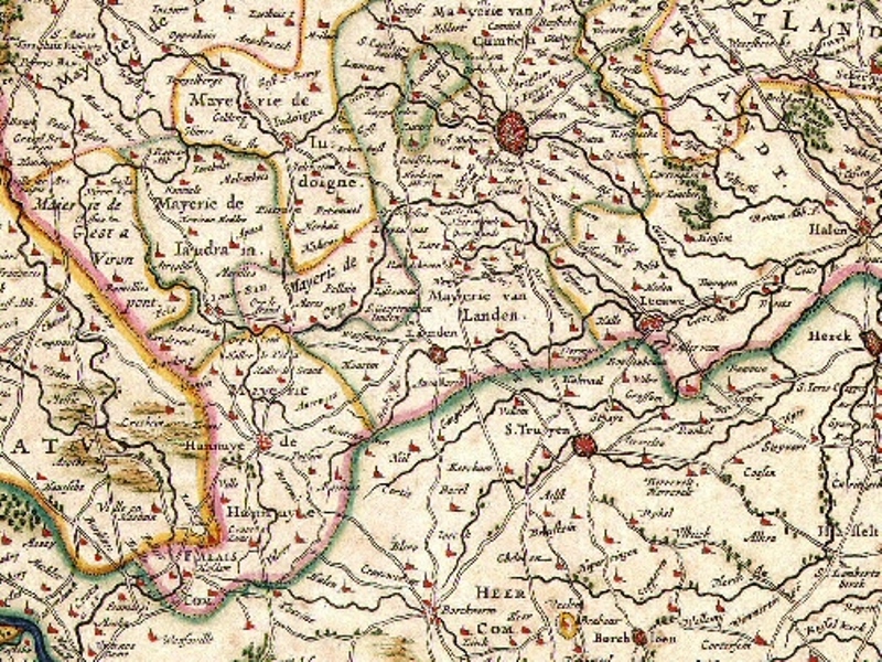
The map displayed here is a map of the larger area around Sint-Truiden. Move the mouse over the map to discover additional information.